Hanging Rock Trail

Table of contents
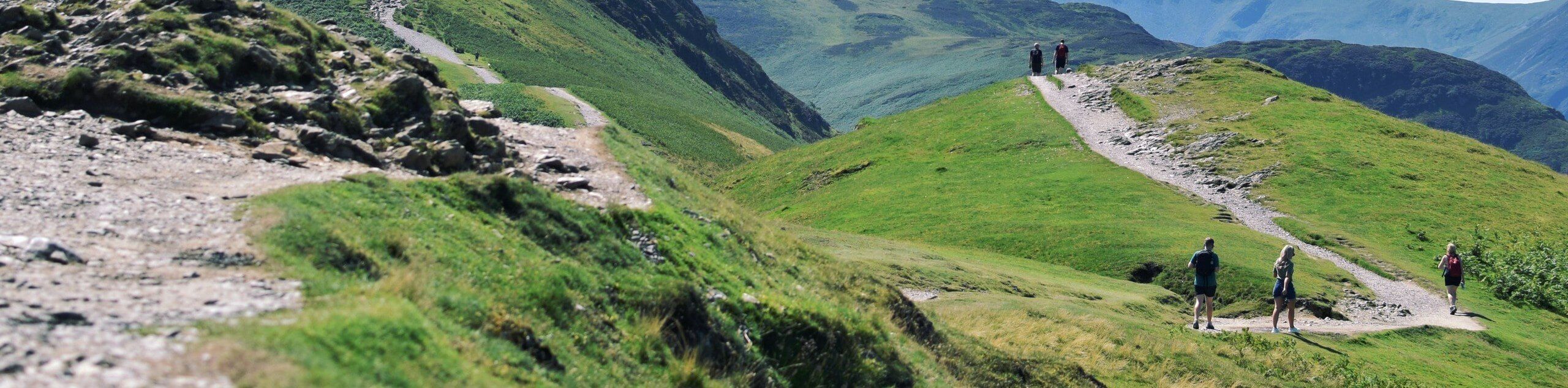
The Hanging Rock Trail is a wonderful alternative to the Moro Rock Trail that those with a fear of heights will surely enjoy. This short, but incredibly scenic hike offers mesmerizing views of the Great Western Divide and Moro Rock looming above the valley.
Route Description for Hanging Rock Trail
A magnet for photographers and outdoor enthusiasts alike, this route sees plenty of traffic. The next time you find yourself in the Sequoia National Park, take a detour to this wonderful destination. The Moro Rock Trail is closed, or you are fearful of the vertiginous climb, then this trek is perfect! Note the rocky path is slippery after rainfall, so mind your footing and be sure to keep your distance from the edge of the outcrop. Don’t forget entrance to the park costs $35USD per vehicle or $20USD per person for pedestrians or cyclists.
Setting out from the trailhead, your journey along the Hanging Rock Trail travels westwardly, gradually climbing into the woodlands. As you trek along the rocky terrain, you will be granted sporadic views of the mountainous wilderness through the tree breaks. Not long after your departure will you reach the Hanging Rock overlook. Revel in the mesmerizing vistas of the Great Western Divide dominating the landscape and Moro Rock decorated with intrepid adventurers.
After marveling at the panorama, continue along the route to the power station, which boasts equally as impressive views of the Sierra Nevada Mountains. Retrace your footing the way you came when you are ready to head back.
Getting to the Hanging Rock Trail Trailhead
Access this hike via the trailhead and parking lot off Moro Rock Loop.
Route Information
Backcountry Campground:
No
When to do:
March-November
Pets allowed:
No
Family friendly:
Yes
Route Signage:
Average
Crowd Levels:
Moderate
Route Type:
Out and back
Hanging Rock Trail Elevation Graph
Weather Forecast
Check Area WeatherReviews
WE ARE HERE TO HELP
Let someone else do the hard work, book a custom tour in over 85 countries.
Chat with us on our contact page or fill out the form below!
Nearby Trails
Eagle and Bobcat Loop Hike
Sequoia and Kings Canyon National Parks
Huckleberry and Alta Loop Hike
Sequoia and Kings Canyon National Parks
Bear Hill and Moro Rock Loop Trail
Sequoia and Kings Canyon National Parks
Moro Rock, Eagle View, and Huckleberry Loop Hike
Sequoia and Kings Canyon National Parks
Moro Rock Full Trail
Sequoia and Kings Canyon National Parks
High Sierra Trail
Sequoia and Kings Canyon National Parks
Tharp’s Log Trail
Sequoia and Kings Canyon National Parks
Tharp’s Log and Huckleberry Loop Hike
Sequoia and Kings Canyon National Parks
Crescent Meadow Loop Trail
Sequoia and Kings Canyon National Parks
Crescent and Log Meadows Trail
Sequoia and Kings Canyon National Parks
Sunset Rock Hike
Sequoia and Kings Canyon National Parks

Moro Rock Trail
Sequoia and Kings Canyon National Parks