Lower Hat Creek Trail

Table of contents
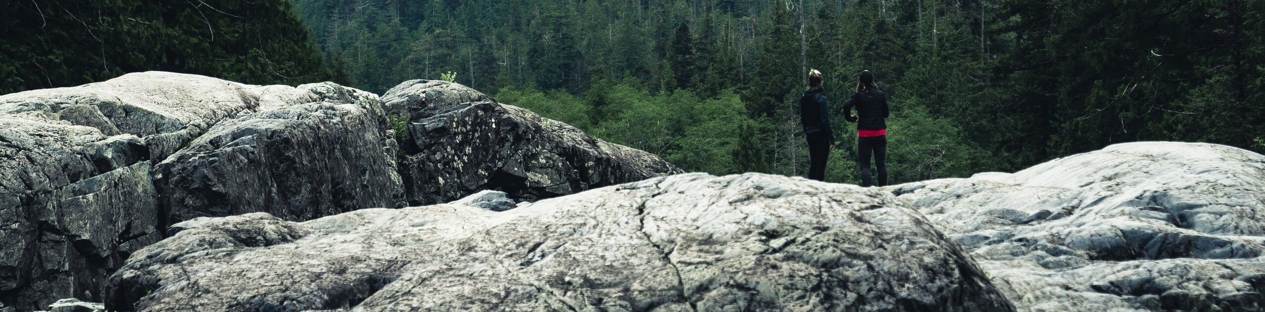
Hikers of all skill levels, ages, and ability levels can enjoy the Lower Hat Creek Trail. This wonderful nature path wanders along the banks of the crystalline creek prolific with trout and through the woodlands abundant with wildlife.
Route Description for Lower Hat Creek Trail
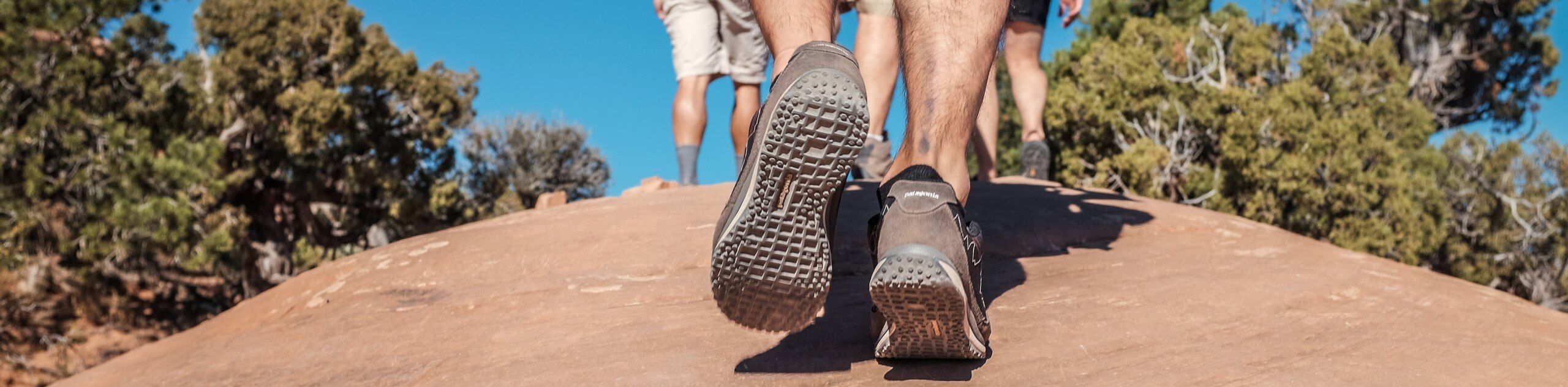
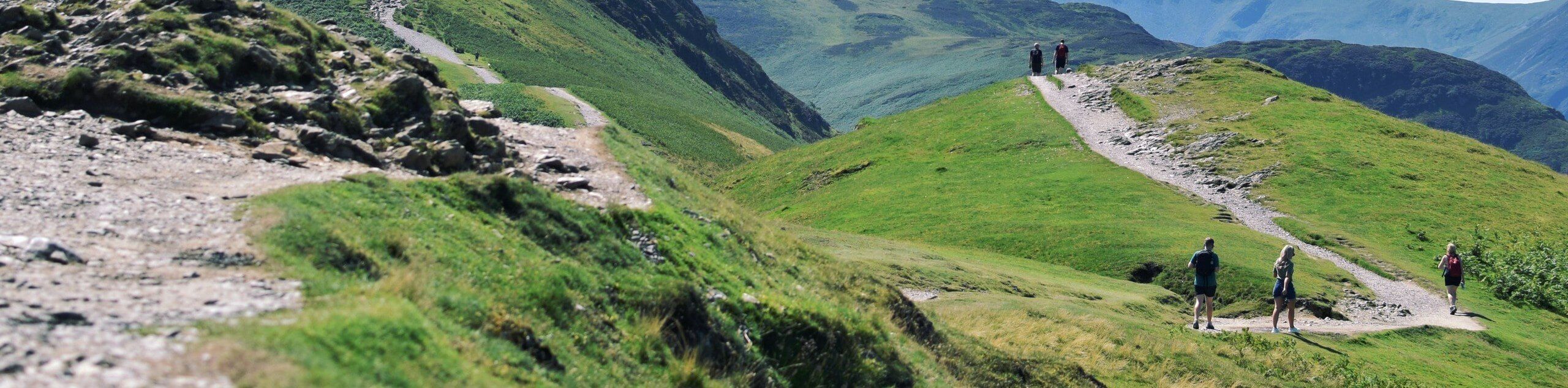
Those seeking an easy-going fresh air escape will enjoy the Lower Hat Creek Trail. This lovely adventure wanders along the curves of Lower Hat Creek and through the lush woodlands. This versatile trek can be enjoyed year-round, though the best season to explore is in the autumn when the foliage is changing, and the aspens are vibrant! As you wander, be sure to keep an eye out for wildlife, such as deer, rehydrating in the creek.
Setting out from the trailhead, the Lower Hat Creek Trail travels south along the crystal-clear waters. The further you progress along the creek, the more muffled will the traffic sounds become. Enjoy the picturesque scenery, and on a calm day, you may even be able to spot trout in the water!
Continue hiking, and you will eventually reach a place where the stream is bisected by an island. If you still have some gas left in the tank, you are welcome to explore further. We turned around here, retracing our footsteps along the path back to the trailhead.
Getting to the Lower Hat Creek Trail Trailhead
Access the Lower Hat Creek Hike from the trailhead off State Route 299.
Route Information
Backcountry Campground:
No
When to do:
Year-round
Pets allowed:
No
Family friendly:
Yes
Route Signage:
Average
Crowd Levels:
Low
Route Type:
Out and back
Lower Hat Creek Trail Elevation Graph
Weather Forecast
Check Area WeatherReviews
WE ARE HERE TO HELP
Let someone else do the hard work, book a custom tour in over 85 countries.
Chat with us on our contact page or fill out the form below!
Nearby Trails
McCloud River Trail
Shasta-Trinity National Forest
Great Shasta Rail Trail
Shasta-Trinity National Forest
McCloud Middle Falls Hike
Shasta-Trinity National Forest

McCloud Falls Trail
Shasta-Trinity National Forest

Potem Falls Trail
Shasta-Trinity National Forest

Burney Falls Loop
Shasta-Trinity National Forest
Subway Cave Trail
Lassen

Chaos Crags Trail
Lassen

Reflection Lake Trail
Lassen

Manzanita Lake Loop
Lassen

Cinder Cone Nature Trail
Lassen