Bighorn Trail #42

Table of contents
The Bighorn Trail #42 is an exciting expedition that explores the riverbanks of the Kootenai River. Shared with mountain bikers, this route boasts a more secluded, and arguably more scenic way to experience the Kootenai Falls.
Route Description for Bighorn Trail #42
Indulge in the beauty of the Kootenai River and the layered sediment and shale walls that bound the water. This scenic adventure is conveniently located near Tory; you will likely enjoy the company of locals as you wander. Note that much of the terrain is uneven and rugged, and there are even sections of loose scree—so a comfy pair of footwear is a must! Don’t forget to wear sunscreen and bring plenty of water to avoid overexposure.
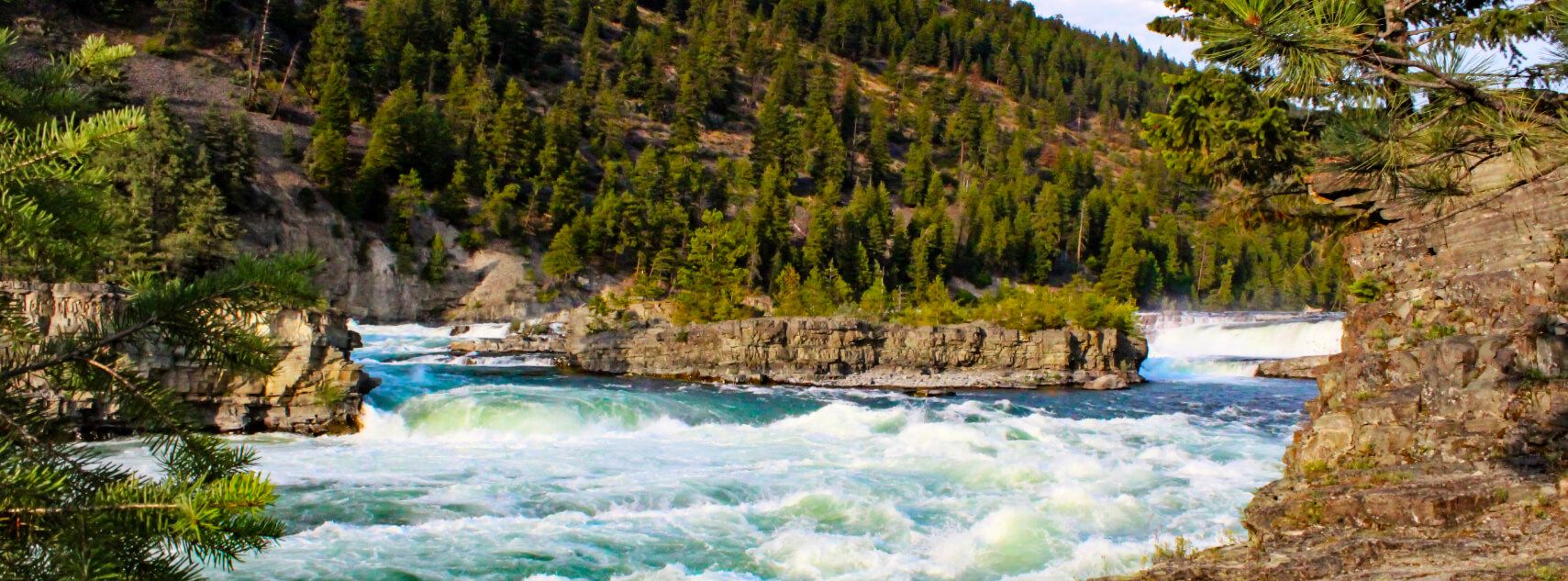
Setting out from the trailhead off the Kootenai River Road, your adventure progresses westward, contouring the riverbanks. Enjoy the scene of the fast-moving water bisecting the mountainous landscape and notice hikers on the opposite side of the water. Revel in the beauty of the timbered mountains rising from the landscape. After some hiking, you will intersect with Dad Creek, Burnell Creek, and China Creek. Passing by historic cabins and artifacts, you will eventually reach the trail’s end at the overlook of the falls.
Take the time to admire the mesmerizing scene of the cascading water, and if you are lucky, you may even get a chance to watch an intrepid kayaker braving the rapids. Then, when you are through admiring the scenery, head back to the trailhead the way you came.
Getting to the Bighorn Trail #42 Trailhead
Access this adventure from the trailhead off the Kootenai River Road.
Route Information
Backcountry Campground:
No
When to do:
April-October
Pets allowed:
Yes - On Leash
Family friendly:
Older Children only
Route Signage:
Average
Crowd Levels:
Moderate
Route Type:
Out and back
Bighorn Trail #42 Elevation Graph
Weather Forecast
Check Area WeatherReviews
WE ARE HERE TO HELP
Let someone else do the hard work, book a custom tour in over 85 countries.
Chat with us on our contact page or fill out the form below!
Nearby Trails

Big Spar Lake Hike
Kootenai National Forest

Historic Highway 2 East Trail
Kootenai National Forest

Shannon Lake Hike
Kootenai National Forest

Flower Creek Trail
Kootenai National Forest

Callahan Creek and Historic Railway Trail
Kootenai National Forest

Sky Lakes and Hanging Valley Loop Trail
Kootenai National Forest

Granite Lake Hike
Kootenai National Forest

Leigh Lake Hike
Kootenai National Forest

Kootenai Falls and Swinging Bridge Trail
Kootenai National Forest

Cedar Lakes Trail
Kootenai National Forest

Kootenai Falls Trail
Kootenai National Forest

Cedar Lakes Trail
Golden