Rawhide Trail

Table of contents
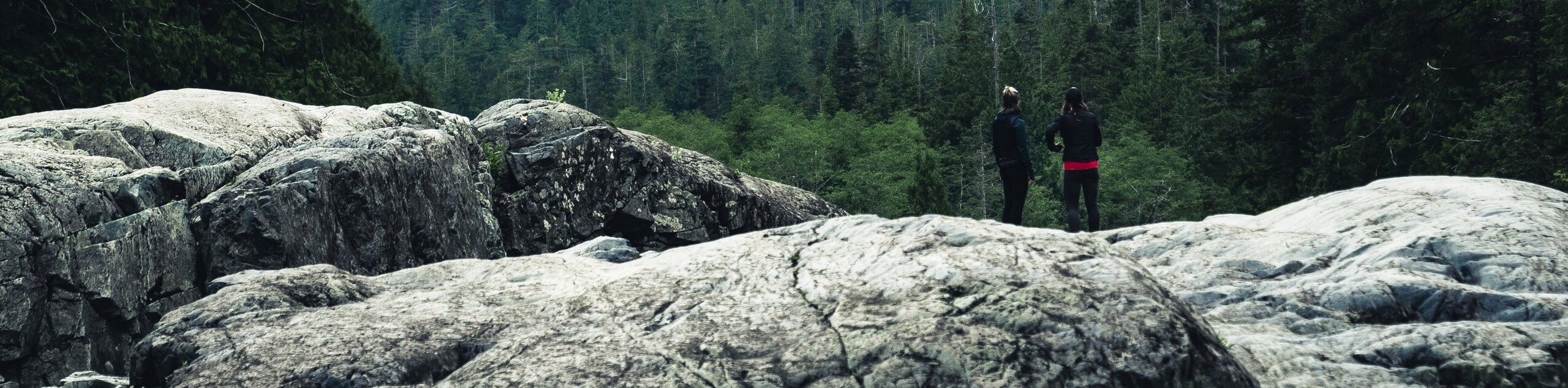
The Rawhide Trail is an epic adventure through the White Ranch Open Space Park that attracts outdoor explorers of all types. Hike, bike, snowshoe, cross country ski or horse ride, this trail presents endless outdoor activities. The popularity of this hike is a testament to its incredible scenery and manageable terrain.
Route Description for Rawhide Trail
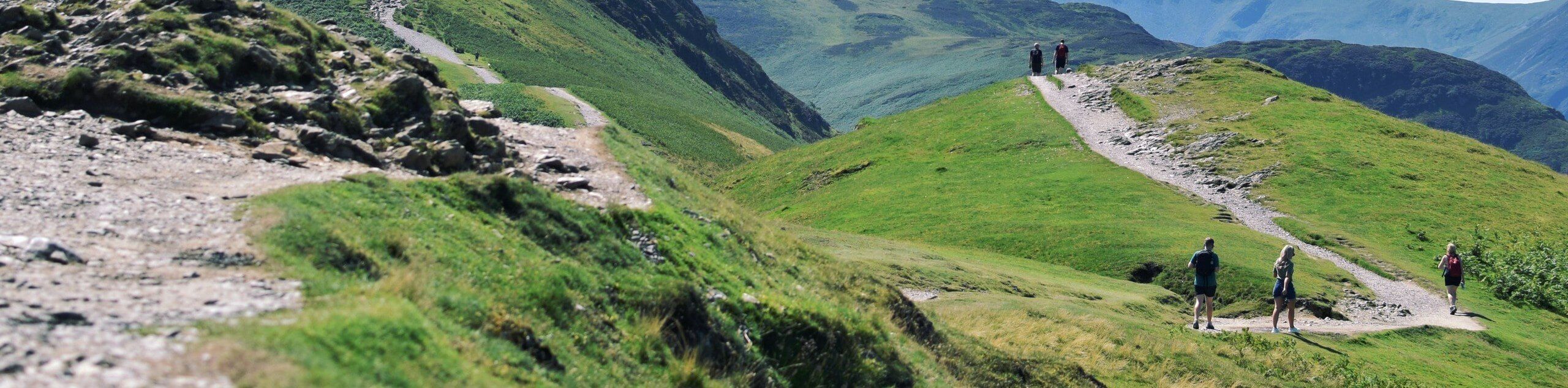
The Rawhide Trail is a crowd favorite, and rightfully so. Enjoy the diversity of the terrain and the epic views of the Colorado wilderness along this superb trail. Socialize with like-minded adventurers as you trek along the route and enjoy the stunning scenery. With the perfect amount of elevation, this path will get your heart rate up without over-exhausting you! It is worth noting that there are rattlesnakes in the area, so if you choose to hike in the summer months make sure to keep an eye and ear out for them.
From the trailhead, keep left and track northwest along the Rawhide Trail. Hike along the undulating path through meadowlands and pine forests. Soon you will encounter an intersection, keep left along the Rawhide Trail. Pass the dispersed campsites and trek further into the wilderness. Eventually, you will encounter a bench that presents stunning views of the encompassing rolling hills. From this point, the route will begin to curve south as you begin your return to the trailhead. You will meet another intersection, keep left here, traveling through the woodlands.
Enjoy the scenery as you complete the last leg of your excursion. Follow the Rawhide Trail south all the way back to the trailhead, marking the end of your awesome adventure.
Getting to the Rawhide Trail Trailhead
The Rawhide Trail is accessed via the trailhead off Belcher Hill Road.
Route Information
Backcountry Campground:
Dispersed backcountry campsites
When to do:
Reasonable start/end dates for route
Pets allowed:
Yes - On Leash
Family friendly:
Yes
Route Signage:
Average
Crowd Levels:
High
Route Type:
Circuit
Rawhide Trail Elevation Graph
Weather Forecast
Check Area WeatherReviews
WE ARE HERE TO HELP
Let someone else do the hard work, book a custom tour in over 85 countries.
Chat with us on our contact page or fill out the form below!
Nearby Trails

Travois Trail
Denver
Belcher Hill Trail
Denver
Mountain Lion Trail
Denver
