Council Bluff Trail

Table of contents
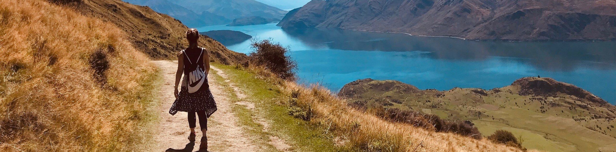
Council Bluff Trail is a 4.7 km out and back hike that starts from the Council Bluff Campground and takes you up to a viewpoint over Council Lake. This hike is fairly short, but there are some confusing, unmarked junctions that make a downloaded GPS route very helpful. Expect light traffic on this hike.
Route Description for Council Bluff Trail
Council Bluff Trail is a good hike if you’re staying at the nearby campground or if you want a 2 hour or so adventure. It’s quick in and out and provides a nice view over Council Lake and the surrounding forest and mountains.
This trail isn’t very well marked, so we recommend downloading your GPS route. The mosquitoes tend to be persistent, so bring a potent spray. Additionally, it tends to be rocky and a bit loose. Poles and sturdy boots are recommended.
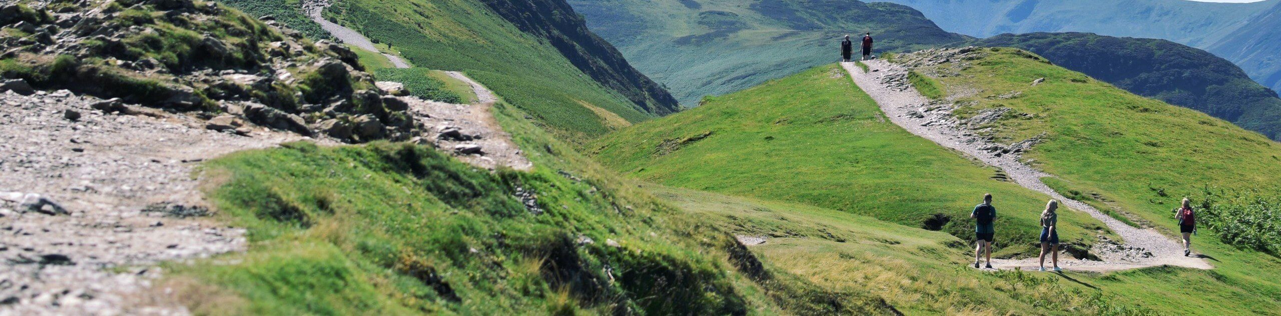
Begin from the back end of the campground. The trail isn’t marked, so take a peek at your GPS. You’ll climb next to the ridge, hiking roughly north before taking four wide switchback turns prior to the final switchbacks to the summit. From the top, you’ll retrace your steps down the same route.
Getting to the Council Bluff Trail Trailhead
The trailhead for the Council Bluff Trail is in the back of Council Bluff Campground.
Route Information
Backcountry Campground:
Council Lake Campground
When to do:
April-November
Pets allowed:
Yes - On Leash
Family friendly:
Yes
Route Signage:
Poor
Crowd Levels:
Low
Route Type:
Out and back
Council Bluff Trail Elevation Graph
Weather Forecast
Check Area WeatherReviews
WE ARE HERE TO HELP
Let someone else do the hard work, book a custom tour in over 85 countries.
Chat with us on our contact page or fill out the form below!
Nearby Trails
High Camp Trail
Gifford Pinchot National Forest
Killen Creek Trail
Gifford Pinchot National Forest
Juniper Peak Summit Trail
Gifford Pinchot National Forest
Sleeping Beauty Trail
Gifford Pinchot National Forest
Cispus Pass Loop
Gifford Pinchot National Forest
Snowgrass Flats and Goat Lake Loop
Gifford Pinchot National Forest
Walupt Lake Trail
Gifford Pinchot National Forest
Sunrise Peak Trail
Gifford Pinchot National Forest
Walupt Creek Falls Hike
Gifford Pinchot National Forest
Lower Falls Campground Loop
Gifford Pinchot National Forest

Takhlakh Lake and Meadows Trail
Gifford Pinchot National Forest

Mount Adams South Climb
Gifford Pinchot National Forest