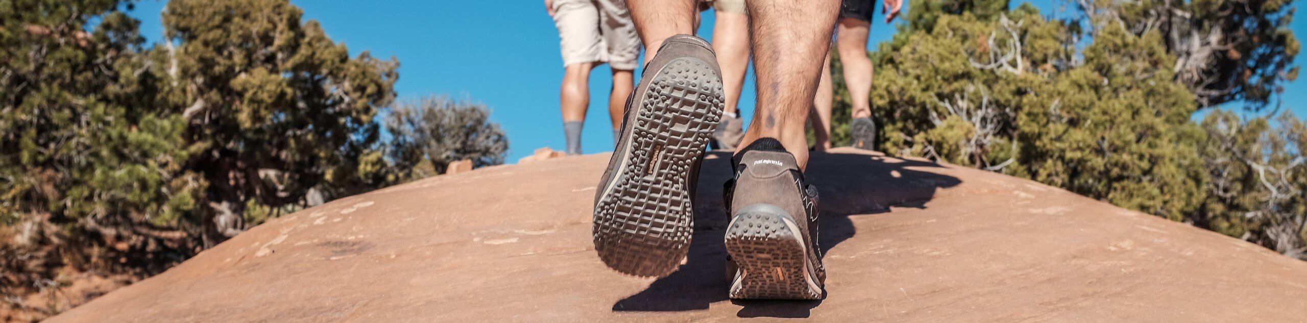
High Camp Trail

Table of contents
High Camp Trail is a 12.6 km hike that takes you to a camp on the base of Mount Adams. This hike requires no mountaineering skills, but going any further than High Camp requires both the skills and the permits. Do this as a backpacking trip or as a fun day hike, or use this as part of a larger expedition on Mount Adams. This trail sees heavy traffic.
Route Description for High Camp Trail
High Camp is an exciting hike that takes you to a camp on the base of Mount Adams. You can use this as a stepping stone to a more intense adventure on Mount Adams or do it as a day trip and say you hiked part of the mountain, which is true!
You can hike to High Camp without a climber’s permit, but you’ll need one to go any further. Also, take note that the lake above the camp, while scenic, is quite difficult to reach. The footing is very loose and mountaineering gear makes it easier. We don’t recommend going any further than the camp if you’re a casual hiker without a permit. Water isn’t easy to source at High Camp so fill up ahead of time.
The trail begins in the parking area off the main road. The climb is gradual and steady to begin with. You’ll cross the creek and then go straight through a 4-way junction. The last half mile to High Camp is very steep and challenging, so push through to make it there. From the camp, you’ll retrace your steps, saying goodbye to Mount Adams for now.
Getting to the High Camp Trail Trailhead
The trailhead for High Camp Trail is on Midway Loop Road.
Route Information
Backcountry Campground:
High Camp
When to do:
July-October
Pets allowed:
Yes - On Leash
Family friendly:
No
Route Signage:
Average
Crowd Levels:
High
Route Type:
Out and back
High Camp Trail Elevation Graph
Weather Forecast
Check Area WeatherReviews
WE ARE HERE TO HELP
Let someone else do the hard work, book a custom tour in over 85 countries.
Chat with us on our contact page or fill out the form below!
Nearby Trails
Killen Creek Trail
Gifford Pinchot National Forest
Juniper Peak Summit Trail
Gifford Pinchot National Forest
Sleeping Beauty Trail
Gifford Pinchot National Forest
Council Bluff Trail
Gifford Pinchot National Forest
Cispus Pass Loop
Gifford Pinchot National Forest
Covel Creek Falls and Angel Falls Trail
Gifford Pinchot National Forest
Snowgrass Flats and Goat Lake Loop
Gifford Pinchot National Forest
Walupt Lake Trail
Gifford Pinchot National Forest
Sunrise Peak Trail
Gifford Pinchot National Forest
Walupt Creek Falls Hike
Gifford Pinchot National Forest

Takhlakh Lake and Meadows Trail
Gifford Pinchot National Forest

Mount Adams South Climb
Gifford Pinchot National Forest