Forest Service Road N22 Hike

Table of contents
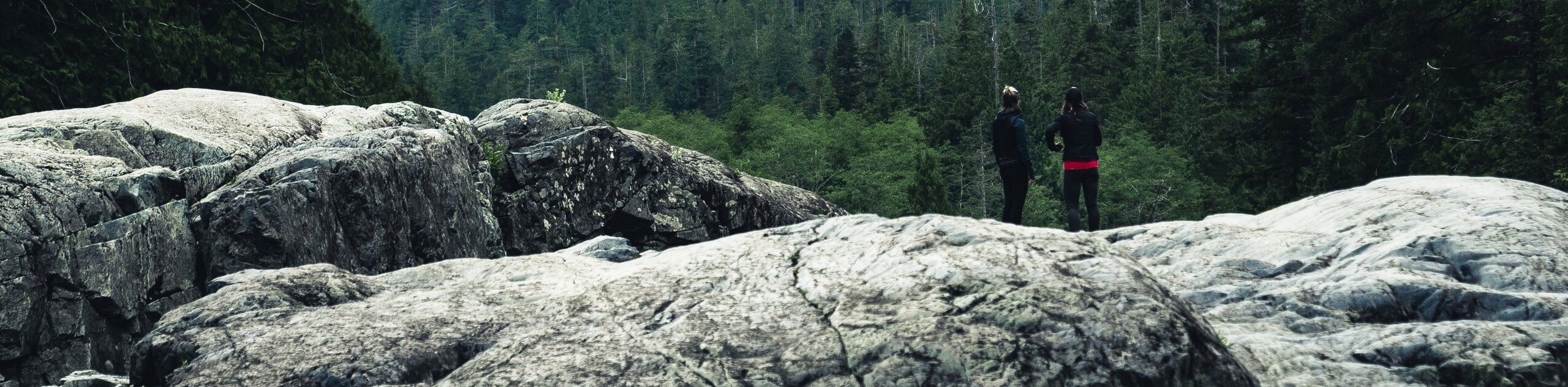
The Forest Service Road N22 Hike is a fun route near San Bernardino, California that will see you climb uphill through the forest for views of the surrounding San Bernardino Mountains. While out hiking the trail, you will steadily gain elevation along an old, overgrown forest service road while taking in the beautiful views of wildlife and the mountainous landscape. Hikers should take note that you will need to display an adventure pass on your vehicle in order to set out on this hike.
Route Description for Forest Service Road N22 Hike
If you are in search of a rugged adventure through the San Bernardino Mountains that will produce some lovely views of the surrounding area, then you will be sure to enjoy the Forest Service Road N22 Hike. Be sure to wear bug repellent and long clothes, as the route is fairly overgrown and there are a number of insects and plenty of ticks along the trail.
Setting out from the trailhead, you will pass by the fire station and make your way to the northwest, where you will quickly cross over the West Fork of City Creek. From here, the route will continue on to the northwest through the undulating terrain of the mountains.
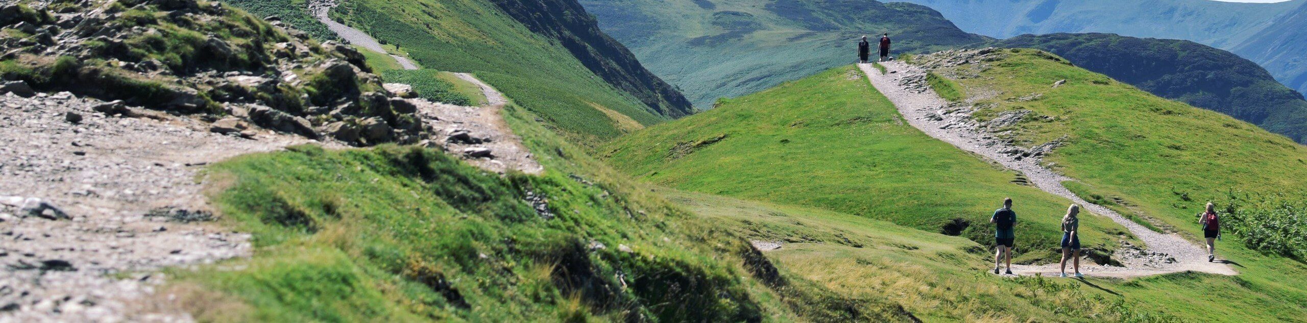
Eventually, the road will narrow and become quite overgrown, so keep an eye out for ticks! Take some time to appreciate the surrounding mountain and forest views, before the trail bends to the southwest and climbs slightly further uphill to the endpoint of the route. At this point, you can head back along the same route to retrace your steps back into the trailhead where you began.
Getting to the Forest Service Road N22 Hike Trailhead
The trailhead for the Forest Service Road N22 Hike can be found along CA-330, just 16.7 km southwest of Running Springs at the City Creek Fire Station.
Route Information
Backcountry Campground:
No
When to do:
April-September
Pets allowed:
Yes
Family friendly:
Older Children only
Route Signage:
Average
Crowd Levels:
Low
Route Type:
Out and back
Forest Service Road N22 Hike Elevation Graph
Weather Forecast
Check Area WeatherReviews
WE ARE HERE TO HELP
Let someone else do the hard work, book a custom tour in over 85 countries.
Chat with us on our contact page or fill out the form below!
Nearby Trails

Marshall Peak Trail
San Bernardino National Forest
Plunge Creek Truck Trail
San Bernardino National Forest
Road 1N96C Hike
San Bernardino National Forest
Tunnell Road to Sawmill Trail
San Bernardino National Forest
Borea Canyon via Daley Canyon Road Hike
San Bernardino National Forest
Mill Peak Trail
San Bernardino National Forest
Metate Trail
San Bernardino National Forest
2W07 Trail from Fisherman’s Group Campground
San Bernardino National Forest
Keller Peak Hike
San Bernardino National Forest
Devil’s Hole OHV Trail
San Bernardino National Forest
Will Abell Memorial Trail
San Bernardino National Forest
Dogwood Campground Loop Trail
San Bernardino National Forest