McConnell Lake Trail

Table of contents
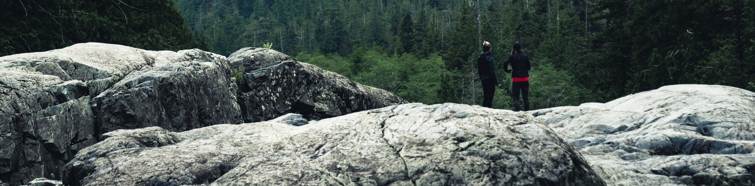
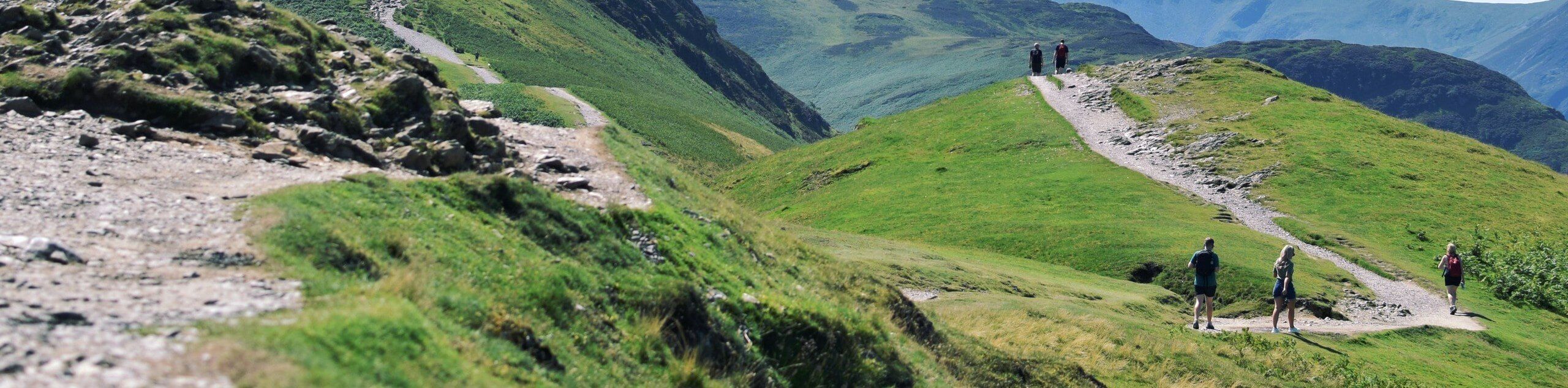
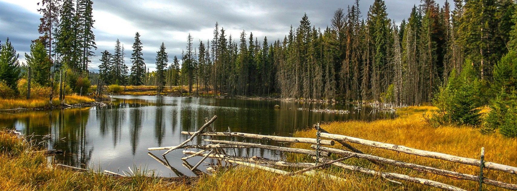
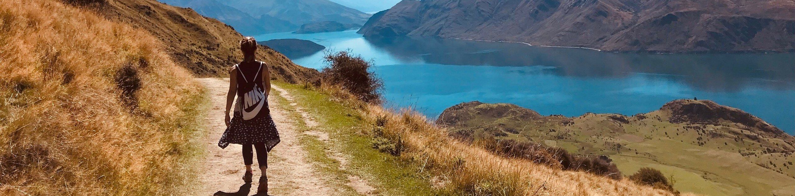
The McConnell Lake Trail is a 3.7 km hiking circuit south of Kamloops, BC, that will allow you to explore the natural beauty of the woodland landscape within McConnell Lake Provincial Park. Along the trail, you will experience a tranquil forest setting that offers some picturesque views across the calm waters of the lake. Featuring flat terrain and amazingly scenic views, this trail is a fun, family-friendly experience that will get you out enjoying the wonderful trails in the Kamloops area.
Route Description for McConnell Lake Trail
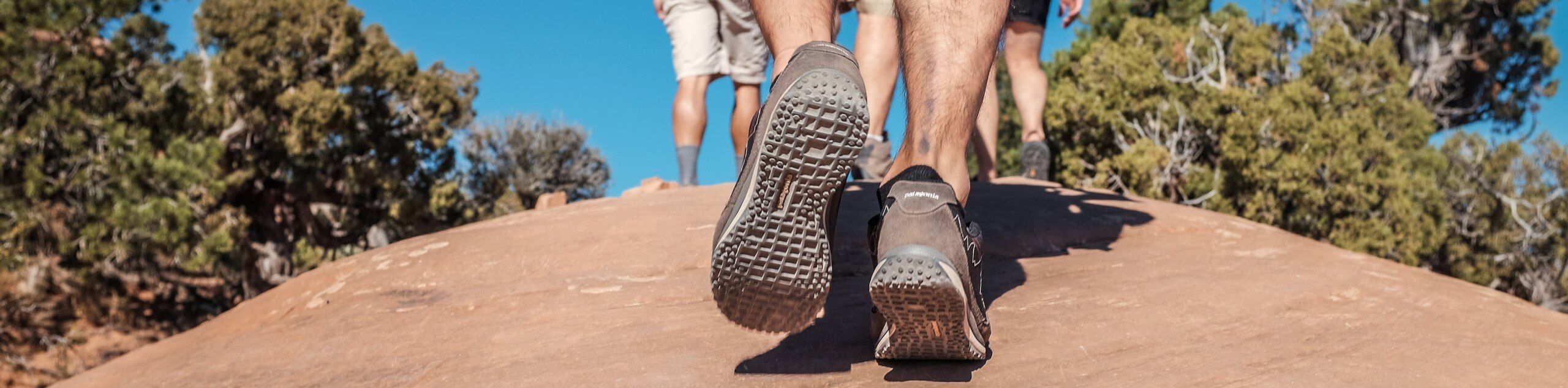
While the McConnell Lake Trail is fairly flat and easily navigable for most hikers, there are stretches along the hike that feature roots and rocks that may slow travel for less-mobile hikers. For this reason, you should make sure to bring proper hiking footwear along for the hike and leave any strollers behind if you are completing the hike with young children. Additionally, due to the proximity of the trail to the water and the amount of shade along the route, it is best to bring bug repellent to protect yourself while on this hike.
Setting out from the parking area, head to the southeast along the trail and follow it as it enters into the thick of the forest. The trail meanders along the edge of the lake and will provide some intermittent views across the water through the thick cover of the trees. Enjoy the peaceful atmosphere along the trail, as you make your way along the southern edge of the lake through the woodland landscape. Roughly 1.7 km into the hike, you will cross over a small creek in the southwest corner of the loop and continue through the forest for the last leg of the journey to return to the trailhead where you began your hike.
Getting to the McConnell Lake Trail Trailhead
To get to the parking area for the McConnell Lake Trail from Kamloops, drive to the southwest on BC-1 for 3.4 km and take the right exit off the highway for exit 366. Turn left on Copperhead Drive after 300 m and follow it for 190 m. Turn right on Lac Le Jeune Road, following it for 19.9 km before turning left to enter the parking area.
Route Information
When to do:
April-October
Backcountry Campsites:
No
Pets allowed:
Yes
Family friendly:
Yes
Route Signage:
Average
Crowd Levels:
Moderate
Route Type:
Circuit
McConnell Lake Trail Elevation Graph
Weather Forecast
Check Area WeatherReviews
WE ARE HERE TO HELP
Let someone else do the hard work, book a custom tour in over 85 countries.
Chat with us on our contact page or fill out the form below!
Nearby Trails
Doc Findlay Loop
North Thompson Valley
Hoodoo Mara Mountain Connector Trail
North Thompson Valley

Cinnamon Ridge Trail
North Thompson Valley
Tom Moore Trail
North Thompson Valley
Kenna Cartwright Ridge Trail
North Thompson Valley
Red Tailed Hawk Loop
North Thompson Valley
Hull Hill Trail
North Thompson Valley

Stake Lake to Ponderosa Trail
North Thompson Valley
Drifter and Cowpoke Loop
North Thompson Valley
Stake Lake Cartwheel Trail
North Thompson Valley
Rivers Trail
North Thompson Valley
Coyote Crossing Hike
North Thompson Valley