Strathcona Science Park Trail

Table of contents
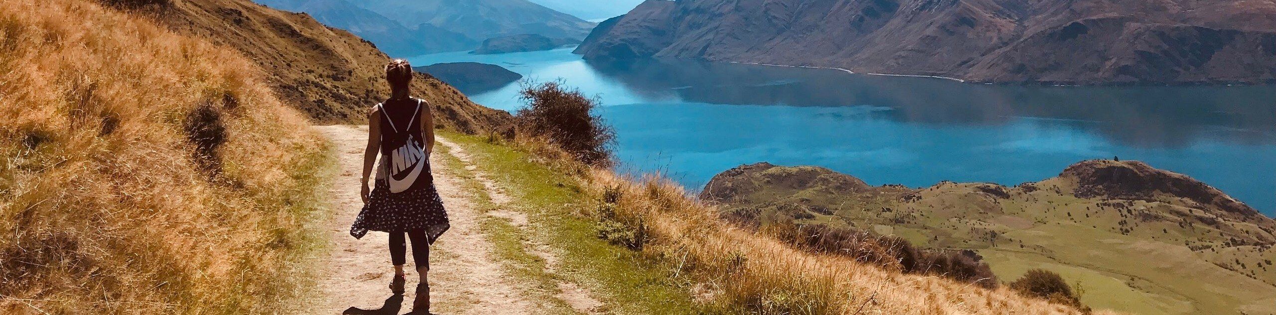
The Strathcona Science Park trail is located in the North Saskatchewan River Valley next to the Sunridge Ski Area. It is a centrepiece for tourism, education, and recreation in Edmonton. The trail passes through exhibits, crosses the north Saskatchewan River, and travels below the ski runs at the resort within the park.
Route Description for Strathcona Science Park Trail
The 9km Strathcona Science Park Trail is an interpretive route that travels through the entire park. It is easy to follow and simple to choose your own route via connecting trails and interpretive exhibits. Our route begins by heading into the centre area that is popular with kids and skateboarders.
Our route then departs the centre area, heading south towards the archaeological site. There are some older buildings and interpretive signs along the way here. Head towards the river and up the river banks towards Sunridge Ski Area. Turn around once you reach the end of the ski runs, and take a left at the junction back to the main parking area of the Strathcona Science Park.
Getting to the Strathcona Science Park Trail Trailhead
To get to the Strathcona Science Park trail, head to Sunridge Ski Area, turning into the signed area for Strathcona Science Park. There is a large parking area for the park where the trailhead begins.
Route Information
When to do:
Year-round
Backcountry Campsites:
No
Pets allowed:
Yes
Family friendly:
Yes
Route Signage:
Average
Crowd Levels:
Moderate
Route Type:
Lollipop
Strathcona Science Park Trail Elevation Graph
Weather Forecast
Check Area WeatherReviews
WE ARE HERE TO HELP
Let someone else do the hard work, book a custom tour in over 85 countries.
Chat with us on our contact page or fill out the form below!
Nearby Trails

Kennedale Ravine Trail
Edmonton

Wolf Willow Trail Loop
Edmonton

Forest Heights Park Trail
Edmonton

Emily Murphy Park Trail
Edmonton

Kinsmen Park Trail
Edmonton

Hermitage Park South Trail
Edmonton

Beaumaris Lake Trail
Edmonton

Gold Bar Park Loop
Edmonton


Whitemud Park Trail
Edmonton

Rundle Park Trail
Edmonton