San Ysidro Creek and Catway Loop
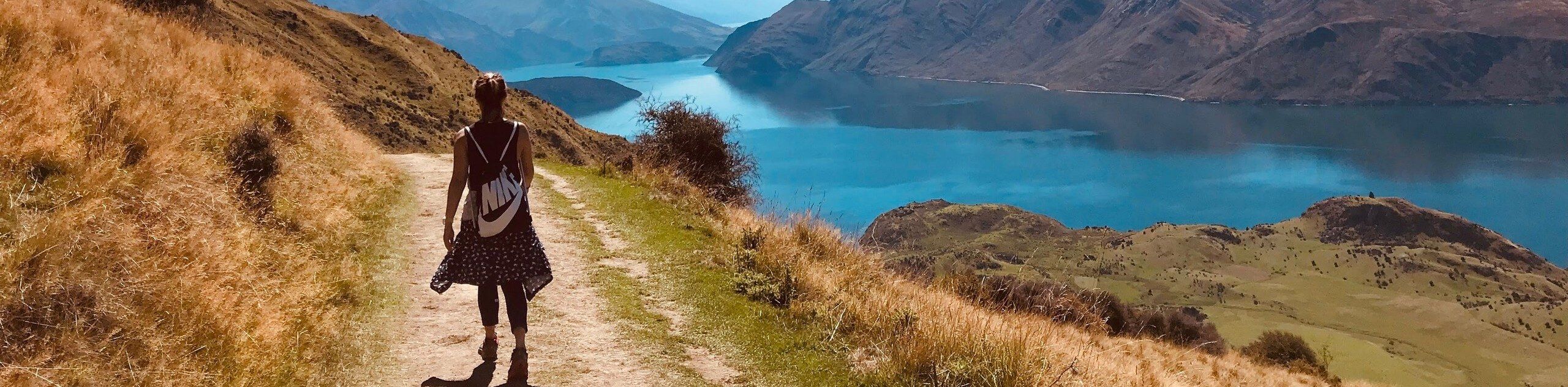
Table of contents
Route Description for San Ysidro Creek and Catway Loop
Exhibiting the area’s beautiful flora and variety of fauna, this route makes for a scenic adventure. Immerse yourself in the foothills and keep an eye out for lupines, deer, condors, and lizards along the way. Note much of the trail is exposed, so head out early to beat the afternoon heat or wear sunscreen and pack plenty of water! Additionally, this route is flanked with poison oak, so mind your surroundings, and if you are nervous about exposure then wear long pants!
Your journey along the San Ysidro and Catway Loop departs from the San Ysidro Trailhead off E Mountain Drive. Setting out from here you will be led north running parallel to W Park Lane to the true trailhead. From here, veer right and you will be diverted onto the Old Pueblo Trail, heading eastwardly through a more residential area. At the trail’s end, merge onto Park Lane briefly before turning left up the Buena Vista Trail. This route hugs the curves of the meandering Buena Vista Creek, up to the next junction. Here, turn left onto the Edison Catway Trail.
This route will guide you up to an amazing overlook of Santa Barbara in the foreground of the Pacific. Revel in the views, then continue hiking west back down to the San Ysidro Trail. Here, turn left and wander the San Ysidro Trail along the creek and back to the trailhead.
Getting to the San Ysidro Creek and Catway Loop Trailhead
Access this adventure from the San Ysidro Trailhead off E Mountain Drive.Route Information
Backcountry Campground:
No
When to do:
Year-round
Pets allowed:
Yes - On Leash
Family friendly:
Older Children only
Route Signage:
Average
Crowd Levels:
Moderate
Route Type:
Lollipop
San Ysidro Creek and Catway Loop Elevation Graph
Weather Forecast
Check Area WeatherReviews
WE ARE HERE TO HELP
Let someone else do the hard work, book a custom tour in over 85 countries.
Chat with us on our contact page or fill out the form below!