

Richard Campbell
Mar 20, 2017
Richard is the Founder of 10Adventures, and as a writer shares his experience from 30+ years exploring the world by foot, bike, ski, and boat.
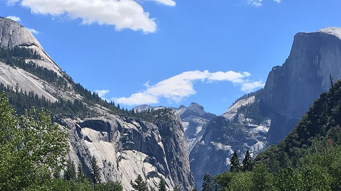
Sprawling over 350.0 km through three national parks, the John Muir wilderness and a national monument, the John Muir Trail (or JMT) is one of the most scenic and popular sections of the Pacific Crest Trail. Taking nearly a month completing the JMT is no small task, as the physical and logistical difficulties of the trail are challenging. The rewards, however, are stunning alpine views and a deep connection to the nature environmentalist John Muir sought to protect.
The Basics

Looking at Marie Lake from Selden Pass on the John Muir Trail in California

Views from the John Muir Trail
Closest Airports: Fresno, San Francisco, Sacramento, Reno
Closest Base: Mammoth Lakes, California
Start: Happy Isles is typical, though huge number of options
Accommodations: Mostly tenting, a few cabins
Costs: $200-$600 Depending on resupplies, accommodation choice, etc.
Length: Approximately 20 Days + Travel days
When to Go: July through September
The JMT provides far too many options to go into in this brief blog post. There are dozens of variations, with many entrance and exit points. Many people hike sections of the trail as day hikes or as shorter backpacks.
The hardest part of hiking the JMT is typically getting the permit to hike it. Having all these options means that if you start planning a few months in advance (which you will need to do for all the resupplies), you should be guaranteed to do most of the classic trail.
Permits And Resupplies

Resupply point on the John Muir Trail

Lakeside camping on the John Muir Trail
Typically the hardest permit to get is the Yosemite Valley section, especially Donahue Pass. There are only 10 of these given out for any given day, so if you have dreams of doing the "classic" JMT be warned! That being said, for many of the clutch sections of the trail there are same-day permits that the National Park Service holds onto. So there is always a chance that when you are going to pick up your reserved permit that another option will be available. This leads to the first rule of the JMT; always remain flexible. Throughout the trail you will encounter obstacles (like altitude sickness, blisters, and fatigue) and going with the flow will help you out more than you would imagine.
Similarly the variety of ways one can support oneself on the trail are numbered. There are numerous places for resupply points. Resupply points are places where you ship food to and then pick up while on the trail. Resupply points typically coincide with the cabins scattered along the trail. You have to pay for your food, package it up, ship it to the resupply point, and pay for it to be held for however many days it will be waiting for you. Though this can be expensive (especially if you're sending the food from outside of the USA), typically the ranches will give you a deal if you book to stay with them.
When To Go

Area on the John Muir Trail burnt by the forest fire

Sally Keyes Lake on the John Muir Trail
This trek goes into the high-alpine, and as such can be greatly impacted by the amount of snow. While Yosemite Valley is hot and dry in June, the high Sierra can still be snow-bound, meaning an inability to hike. In low-snow years, you can hike earlier in the season, however in big snow years there may be snow until late-July. While walking on snow in the hot summer fun may sound fun, it is very easy to lose the path and get lost, which is not that fun.
To find out the trail status for the upcoming season it is best to contact the Yosemite National Park Service to find out what the conditions are like.
Health And Altitude

Goodale Pass on the John Muir Trail

High Pass on the John Muir Trail in California
For many people the elevation will be quite difficult to deal with. We recommend going to a doctor before the trek and getting medication for altitude sickness. These drugs only help with symptoms of elevation, and don't make your body acclimatize faster. It is hard to stress how important is it to take time and listen to your body when on this trek.
The number of days you take on the trail is hugely dependent on how well your body adapts to the altitude. Typically people do the trail southbound (starting in Yosemite), which has a slightly upwards trend. This allows for you to acclimatize as you progressively sleep at higher elevations. Additionally, taking a couple of days to acclimatize in Mammoth Lakes is also highly recommended.
Because this is an extremely long thru-hike, your muscles and tendons will be under heavy, repeated strain every day. This can lead to horrible blisters and tendinitis. It is not uncommon for people to have to leave the trail early due excruciating foot pain. Test your gear out thoroughly before you go, and don't forget to carry a large first aid kit!
The first time we attempted the trail we had to finish early due to health complications. One member of our group got serious altitude sickness in conjunction with horrible blisters. When she was at one of the higher passes, she was clearly not mentally present. To help her one group member immediately started hiking with her down the other side of the pass, to bring her to a lower elevation. This is the only thing that can help someone with elevation sickness, and it should be noted that there are not always options along the trail to immediately decrease your elevation. Her blisters — which were causing her to have a pronounced limp — were the icing on the cake, leading us to then abandon the trek.
The Route
Going southbound, the trail typically starts in Happy Isles, in the heart of Yosemite Valley. There are, however, dozens of different entry points all with their own merit. Do research, as certain routes are easier to snag permits for last minute, or allow for a much shorter trek.
The 350.0 km trail runs through numerous parks and wildernesses, taking you up mountain passes and into lush, forested valleys. As you progress south, and the elevation increases, the vegetation decreases and the views will become more open. Stunning mountains permeate your surroundings for the entire 21-day voyage. We recommend going in September, as there will be fewer people on the trail and far fewer mosquitoes! The trek finishes at the Mt. Whitney Portal
Accommodation

Ferry Dock at Florence Lake on the John Muir Trail

Trail and mountains from the John Muir Trail
Being a classic thru-hike, this trek has little in the ways of non-tent accommodation. However, lodges such as Muir Trail Ranch, Red's Meadows and Tuolumne Cabins all allow for a well-deserved break from sleeping on the ground. We especially love Muir Trail Ranch, as it is the one true backcountry lodge on the trek (all others can be accessed via a dirt road). The ranch has a natural hot spring to rest your tired bones and delicious food; a real treat!
Some accommodation is not technically on the trail. For example, the town of Independence has several hotels which specifically cater to JMT hikers. They will drive a 4x4 and pick you up close to the trail. These hotels know exactly what you'll want, and offer special amenities such as reasonably priced laundry services! Almost all hotels, hostels and lodges double as resupply points, and usually give their patrons special rates.
After spending nearly a month hiking through some of the worlds more scenic wildernesses you will gain an intimate understanding of what John Muir fought so hard to protect. The essence of these raw, untouched places resonates will all of us, and spending such a large chunk of time inundated with these feelings can truly be a deeply emotional experience.
Sample Itinerary

Classic Yosemite view on the John Muir Trail

Campsite on the John Muir Trail
1. Happy Isles to past half Dome Trail (12.9 km)
2. Cathedral Pass (12.9 km)
3. Tuolumne Meadows (9.7 km; resupply)
4. Lyell Fork Base Camp (16.1 km)
5. Thousand Island Lake (19.3 km)
6. Trinity Lakes (14.5 km)
7. Red's Meadow (12.9 km, resupply, lodge!)
8. Purple Lake (17.7 km)
9. Mott Lake (17.7 km)
10. WR Ferry landing (6.4 km, resupply)
11. Rose Lake (16.1 km)
12. Aspen Meadow (20.9 km, resupply en route)
13. Sapphire Lake (20.9 km)
14. Bishop Pass (22.5 km)
15. Upper Palisade Lake (20.9 km)
16. Lake Marjorie (17.7 km)
17. Baxter Pass (20.9 km)
18. To Onion Valley Trailhead and to Independence (21.7 km, resupply)
19. Upper Vidette Meadow (18.5 km)
20. Shepherd Pass (19.3 km)
21. Guitar Lake (14.5 km)
22. Whitney Portal (22.5 km)
Richard Campbell
Mar 20, 2017
Richard is the Founder of 10Adventures, and as a writer shares his experience from 30+ years exploring the world by foot, bike, ski, and boat.
Recent stories
Destinations
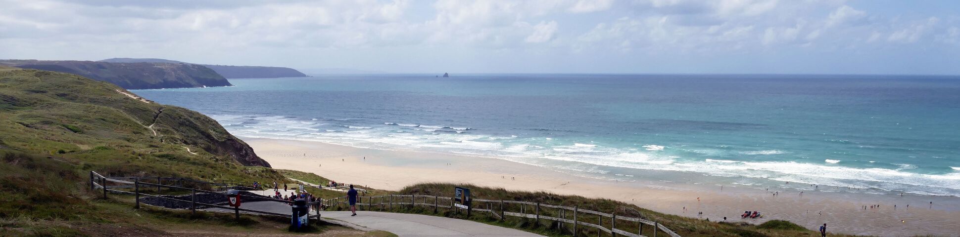
South West Coast Path Guide: Best Sections and Walking Tours for 2026
The South West Coast Path is one of England's great long-distance walking routes.
Nadine Gravis
Jun 16, 2026
Destinations
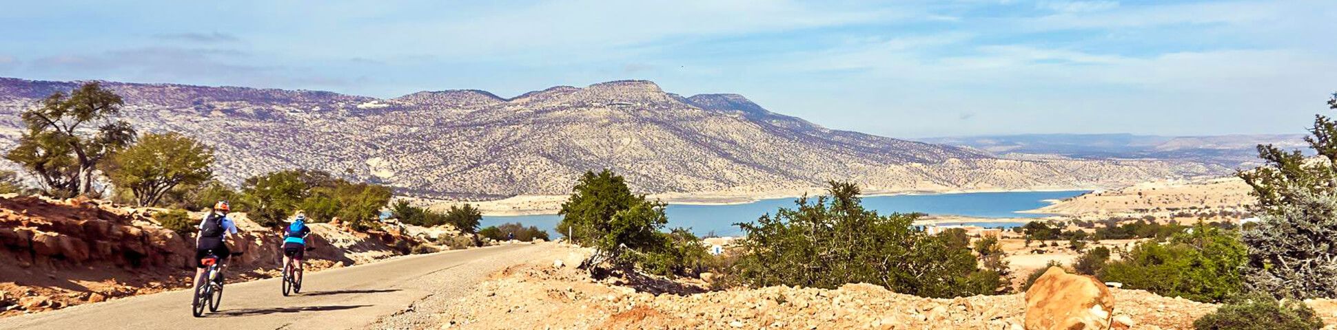
Cycling in Morocco: Best Bike Tours, Regions and Routes for 2026
Cycling in Morocco is one of the most exciting ways to experience North Africa by bike.
Richard Campbell
Jun 16, 2026
Trip guides
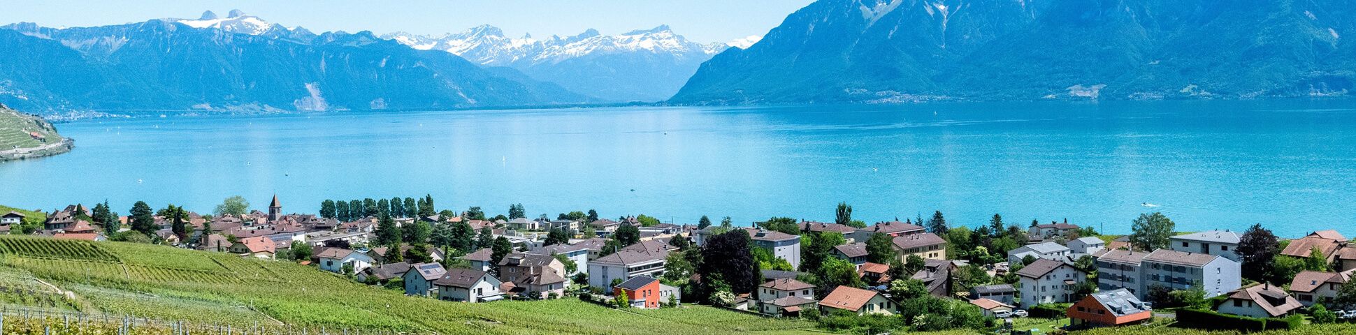
An Extensive Travel Guide to Switzerland for 2026
Let our travel tips for your Switzerland adventure guide you exactly where you want to be in 2026.
Kelsey Krahn
Jun 15, 2026